Would it ever be practical for satellites to project geographic boundaries or other images onto the surface of the earth?
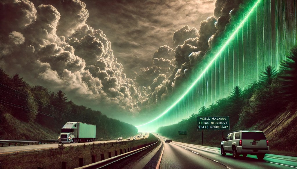
DALLE Prompt: In the near future, a US tech company offers the ability to use its fleet of satellites to permanently paint all state boundaries on the surface of the Earth using colored lasers. Show what this looks like as seen from a highway near a state border, with a wall of green laser light filtering eerily through the clouds while driving nearly parallel to this wall.

Leave a comment